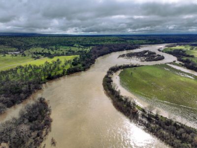
In a warming climate, the frequency and intensity of atmospheric rivers, flooding, and extended droughts in California are steeply on the rise. California water managers are pivoting toward expanding floodplains to proactively capture floodwaters. Meanwhile, over 200 groups are developing groundwater sustainability plans across the state.
How are efforts to manage surface water and groundwater connected? It’s all about a shift in our understanding of aquifers.
I used to envision our aquifers as buried bladders: Chambers that stored water and had distinct boundaries. Geophysicists at our state’s top universities set me straight. In our great Central Valley, aquifers are not chambers at all. They are gravel and cobble-filled channels where ancient rivers once conveyed Sierra snowmelt through the Golden Gate to the Pacific Ocean. Buried over millions of years, their architecture is complex and they are distinctly interconnected.
This new piece of the California water puzzle – knowing where percolation channels lead to deeper groundwater storage – could fundamentally change floodplain restoration design.


Scientists at Lawrence Livermore National Labs have recently demonstrated how much more our aquifers rely on surface flows since our golden age of dam-building in California. Using environmentally-present noble gasses and radioisotopes to create water “fingerprints,” Lawrence Livermore scientists were able to show that in pre-modern times, riverflows accounted for about 26% of groundwater in the San Joaquin Valley. Today, they account for 47%.

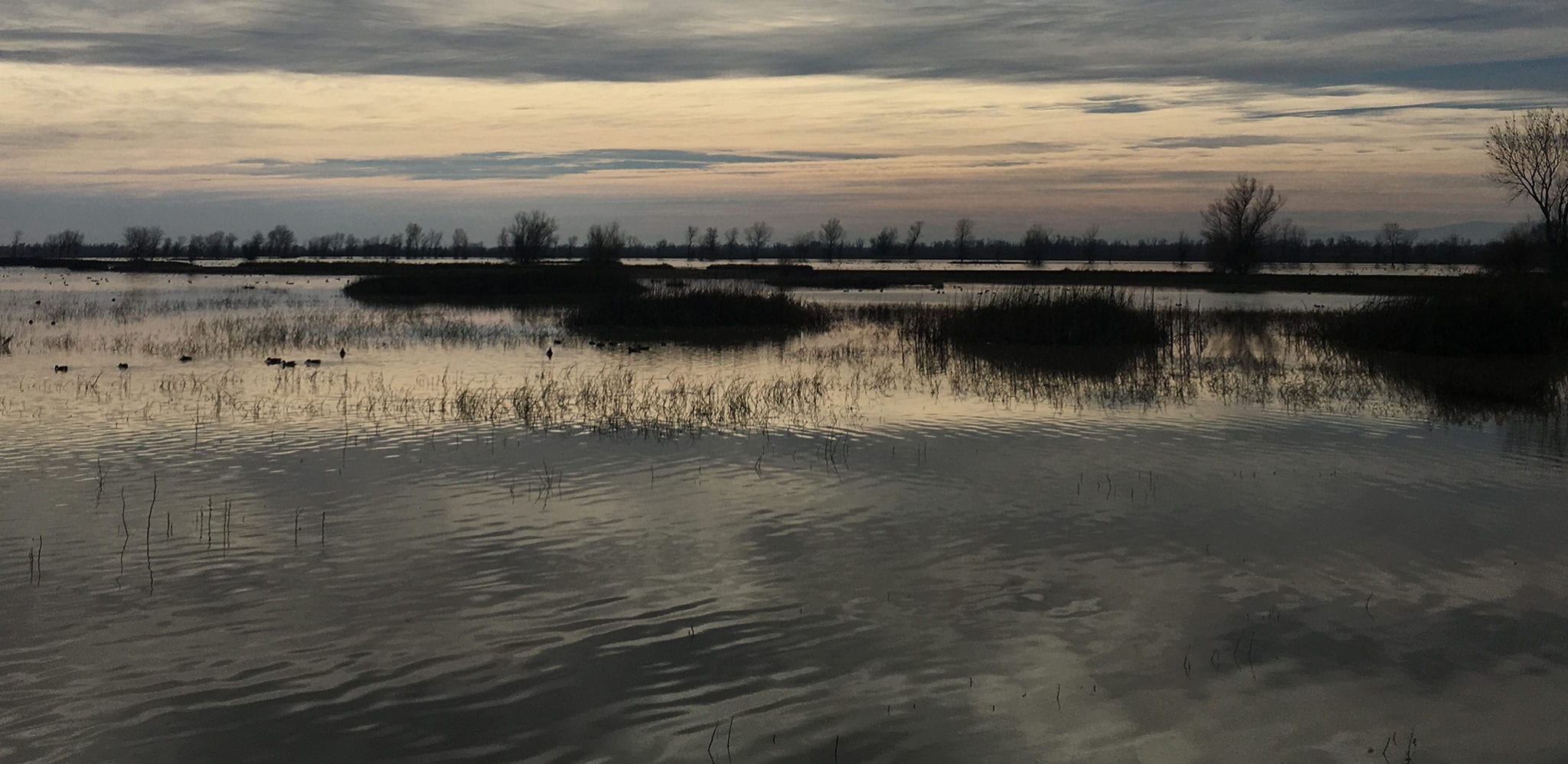
River Partners and Lawrence Livermore scientists aim to turn our Dos Rios Ranch project into a living laboratory for groundwater science, by employing this technology to study how our restored floodplains absorb floodwater and release it over time.
We know that our expanded floodplains recharge the shallow aquifer supporting riparian trees and shrubs through the summer. We also suspect that floodplains feed the river’s streamflow for months, maybe years. But do they also support adjacent groundwater users by transferring floodwaters to deeper storage areas?
A series of groundwater wells across the landscape at Dos Rios will allow for real-world data collection showing transit time of various water sources (upslope irrigation, floods, river flows, and rain) through the floodplain at a scale that makes the results applicable across the watershed.

Data on groundwater dynamics will help us evolve our restoration project plans to locate dense riparian forest plantings where they can most effectively enhance receptive groundwater stores. Likewise, areas with lower groundwater demands would be designated for grasslands and shrublands.
A deeper understanding of groundwater at Dos Rios will help us to describe the specific ways our work improves streamflow conditions over the year. It could even help us prioritize floodplain expansion projects throughout the watershed.

Another emerging tool that could revolutionize water management in California is SkyTEM. Researchers from Denmark and Stanford University have partnered to develop a non-invasive technique to take an MRI of the earth. Using local calibration data, electromagnetic imaging can be translated into a 3-D map of the shape and size of our aquifers after simply flying once over the land’s surface with a big magnet.
Blessed by relief from the drought, we have the room and the responsibility to consider that expanded floodplains are a major opportunity to increase groundwater recharge in California. Groundwater sustainability must be a fundamental component of river habitat restoration.
Policymakers and communities alike are calling for a more detailed understanding of the interactions between surface and groundwater across our floodplains.
Until the passage of California’s Sustainable Groundwater Management Act (SGMA) in 2014, much of our state lagged behind 48 other states in codifying the connections between surface water and groundwater. While our surface water rights system is complicated and is overseen by a variety of federal, state and local agencies, our groundwater usage oversight was left to local jurisdictions, which had no incentive to limit access for all sorts of development activities.
This situation was tested through the drought of 2011-2017 when overdraft showed up in many problematic places: subsidence around major infrastructure, domestic wells running dry, and massive price surges and waitlists for groundwater well-drilling. It was a race to the bottom, and for many, the race is not over even though the recent drought has officially ended.
California must invest in solid mapping of aquifers in order to make good on the promise of SGMA to all of our water users. At River Partners, we will continue to encourage Californians to look at our floodplain expansion projects as research laboratories and proof of concept for a deeper dimension of groundwater management and river habitat restoration.